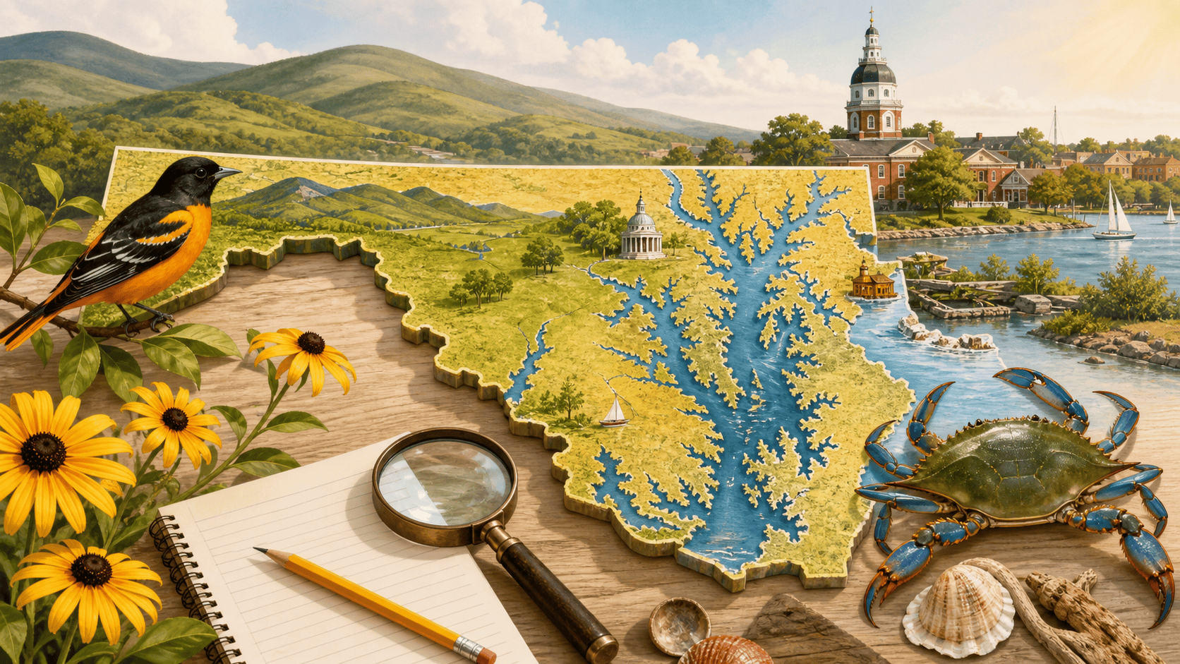
Maryland is a tiny state with a ridiculous amount packed into it. In one day, kids can talk about ocean beaches, mountain lakes, dinosaur bones, a giant bay, a state sport with knights, and a flag that looks like somebody made a puzzle out of a castle.
This guide is for families, teachers, homeschool groups, and curious kids who want Maryland facts that do not just sit on a worksheet. Some of these facts come with a place you can visit, or at least a place you can point to on a map and say, “Wait, that is here?”
Jump to a Maryland fact
Quick Maryland facts for kids
- Maryland has mountains, beaches, farms, cities, marshes, and the Chesapeake Bay.
- The U.S. Geological Survey lists Maryland’s geographic center in Prince George’s County, 4 1/2 miles northwest of Davidsonville.
- The center point corresponds to about 38°58’18.03″ N, 76°40’6.0024″ W.
- The Star-Spangled Banner story is connected to Fort McHenry in Baltimore.
- Assateague Island is famous for its wild horses.
- Maryland’s official state sports are jousting and lacrosse.
- Maryland has a state fossil shell, a state bird, and one of the boldest state flags in the country.
1. Maryland’s geographic center is near Davidsonville
Here is a fun map fact: the U.S. Geological Survey’s geographic centers resource lists Maryland’s geographic center in Prince George’s County, 4 1/2 miles northwest of Davidsonville. The point corresponds to about 38°58’18.03″ N, 76°40’6.0024″ W. That does not mean there is a giant button in the ground that says “middle of Maryland,” although honestly, that would be delightful. It means that if you imagine balancing the outline of Maryland like a flat cardboard cutout, the balance point would be in that general area.
Can you go see it? Sort of. Davidsonville is a real place, and the area is close to Annapolis, Crofton, and Edgewater. The exact geographic-center point is more of a map-reading fact than a visitor attraction, so this one works best as a geography challenge: find Davidsonville, find Annapolis, then notice how central Anne Arundel County is to the shape of the state.
2. Fort McHenry helped inspire the national anthem
During the War of 1812, Fort McHenry defended Baltimore Harbor. Francis Scott Key saw the American flag still flying after the battle and wrote the words that became “The Star-Spangled Banner.”
Go see it: Visit Fort McHenry National Monument and Historic Shrine in Baltimore. It is one of the easiest Maryland history facts to turn into a real field trip because kids can stand in the place where the story happened.
3. Assateague has wild horses
Assateague Island is one of Maryland’s best “is this real?” places for kids. Wild horses live on the island, along with beaches, dunes, marshes, birds, deer, and plenty of bugs that are also very committed to the island lifestyle.
Go see it: Start with Assateague Island National Seashore or Assateague State Park. The important kid rule is simple: enjoy the horses from a distance. They are beautiful, but they are wild animals, not beach ponies waiting for snacks.
4. Maryland has two official state sports
Maryland’s official state sports are jousting and lacrosse. That gives the state one sport with helmets and sticks, and another with horses, lances, and a very medieval feeling. Not many states can say that.
Go see it: The Maryland State Archives has a helpful page on Maryland’s state sports. Families can also look for local lacrosse games, school games, or summer tournaments. For jousting, check current Maryland jousting association or county fair schedules before making plans.
5. Maryland’s flag is secretly a family-history lesson
The Maryland flag looks wild, but it is not random. The black-and-gold pattern and the red-and-white cross bottony design come from the Calvert and Crossland family arms. That means the flag is partly a state symbol and partly a very old family-design mashup.
Go see it: You will spot the flag almost everywhere in Maryland. For the official background, read the Maryland State Archives page on the Maryland state flag. A good kid challenge is to count how many Maryland flags you can find during one trip to Annapolis or Baltimore.
6. The state bird is the Baltimore oriole
The Baltimore oriole is bright orange and black, which makes it look like it dressed itself for an Orioles game. It became Maryland’s official state bird in 1947.
Go see it: Orioles are migratory birds, so spring and summer are better times to look. Try parks, woods, and backyards with tall trees. The Maryland State Archives has more on the Baltimore oriole as Maryland’s state bird.
7. Maryland has a state fossil shell
Maryland’s state fossil is an extinct fossil shell called Ecphora gardnerae gardnerae. That is a mouthful, so kids can start with this: it was a snail-like sea creature from long ago, and its shell is famous enough to become a state symbol.
Go see it: Calvert Cliffs State Park and nearby fossil sites are popular places to learn about Maryland fossils, although collecting rules depend on the exact location. For the official symbol, see the Maryland State Archives page on the Maryland state fossil shell.
8. You can visit a dinosaur discovery site in Laurel
Maryland is not usually the first state kids mention when they think of dinosaurs, but it has real dinosaur history. Dinosaur Park in Laurel protects a fossil site where visitors can learn about ancient plants and animals from the Cretaceous period.
Go see it: Check the current schedule for Dinosaur Park in Prince George’s County. The site has limited public hours, so do not just show up without checking first.
9. Maryland does not really have natural lakes
This one surprises kids and adults. Maryland has lakes and reservoirs, but the Maryland Geological Survey explains that the state’s modern lakes were made by people, mostly by damming rivers and streams. Deep Creek Lake, for example, feels wonderfully lake-like, but it is a human-made lake.
Go see it: Visit Deep Creek Lake in Garrett County, Centennial Lake in Howard County, Lake Elkhorn in Columbia, or another Maryland lake, then ask: what was here before the water was held back? The Maryland Geological Survey has a useful Maryland lakes and reservoirs FAQ.
10. The Chesapeake Bay is Maryland’s giant outdoor classroom
The Chesapeake Bay is not just water on a map. It shapes Maryland food, wildlife, bridges, boats, weather, history, and jobs. If a kid understands the Bay, a lot of Maryland starts making more sense.
Go see it: Try Sandy Point State Park, the Chesapeake Bay Maritime Museum in St. Michaels, Annapolis, or a local nature center with Bay programs. Even standing by a tidal river and watching the water move can turn an abstract map into something real.
11. Maryland is small, but it has a lot of different landscapes
Maryland is often nicknamed “America in Miniature” because you can find mountains in the west, beaches in the east, cities, farms, forests, rivers, and the Chesapeake Bay in between. For kids, this is a great reason to compare maps: Garrett County does not look or feel like Ocean City, and both are still Maryland.
Go see it: Pick two very different Maryland places and compare them. A good pair would be Patapsco Valley State Park and Ocean City, or Cunningham Falls and Assateague.
12. Maryland history is often hiding in ordinary-looking places
One of the best things about Maryland is that history does not only live in big museums. You can find old mills, railroad towns, one-room schools, historic churches, battle sites, shipbuilding stories, African American history, Native history, and farming history tucked into regular drives.
Go see it: Start small. Look up the history of your town, your nearest old road, or your local park. Then ask a very Maryland question: what was here before the shopping center, school, road, or neighborhood?
Easy Maryland fact hunt for kids
- Find Davidsonville on a map and mark the area northwest of town near Maryland’s geographic center.
- Spot a Maryland flag in the wild.
- Look for a Baltimore oriole during spring or summer.
- Visit a place connected to water: a bay, river, reservoir, marsh, or beach.
- Find one Maryland place where fossils, ships, battles, farms, or railroads changed the story.
Maryland facts for kids FAQ
What is a fun fact about Maryland for kids?
One fun fact is that Maryland’s official state sports are jousting and lacrosse. Another is that wild horses live on Assateague Island, where families can visit the beach and learn about coastal wildlife.
Where is the geographic center of Maryland?
The U.S. Geological Survey lists Maryland’s geographic center in Prince George’s County, 4 1/2 miles northwest of Davidsonville. The coordinates correspond to about 38°58’18.03″ N, 76°40’6.0024″ W. It is better treated as a map-learning fact than a tourist stop, since there may not be a marked visitor destination at the exact point.
What Maryland facts can families see in person?
Families can visit Fort McHenry for the national anthem story, Assateague Island for wild horses, Dinosaur Park for fossil history, and local parks or waterfronts to understand how much the Chesapeake Bay shapes the state.
Related RingJing guides
- Fun things to do with kids around Maryland
- Maryland homeschool field trips and day trip ideas
- Sandy Point State Park beach guide
- Maryland and Delaware beach guide
Sources checked
- U.S. Geological Survey: Geographic Centers
- Maryland Secretary of State: Maryland Kids Geography
- National Park Service: Fort McHenry
- National Park Service: Assateague Island National Seashore
- Maryland DNR: Assateague State Park
- Maryland State Archives: Maryland State Flag
- Maryland State Archives: Baltimore Oriole
- Maryland State Archives: State Sports
- Maryland State Archives: State Fossil Shell
- Prince George’s County Parks: Dinosaur Park
- Maryland Geological Survey: Lakes and Reservoirs FAQ